Why Directional Drilling in Darwin Always Starts with a Dial Before You Dig Check
Underground services in the Northern Territory are rarely mapped with the precision contractors hope for. Incomplete records, ageing installs and informal connections are common realities on NT job sites, which is exactly why the compliance steps that come before any directional drilling in Darwin are not optional formalities. They are the difference between a job that runs to schedule and one that results in a live asset strike, a project shutdown and a liability investigation. The process starts with a Dial Before You Dig request, and what happens after that is where most of the real risk management work begins.
What Is Dial Before You Dig and Why It Is Mandatory
The Dial Before You Dig scheme is a national referral service that notifies utility asset owners when excavation or ground disturbance is planned in their area. Lodging a request before any ground disturbance is a legal requirement in Australia, covering all forms of excavation including horizontal directional drilling. The scheme connects contractors, councils and developers with the relevant utilities so that plan data on underground assets can be reviewed before a crew arrives on site.
Here is what submitting a BYDA request actually does for a project:
- Notifies each utility with assets registered in the work area
- Triggers the release of plan data showing known asset locations and types
- Creates a documented record that pre-work due diligence was completed
- Provides baseline information on asset alignments, depths and classifications
How Long Do BYDA Plan Responses Take in the NT?
Response times matter when projects have mobilisation deadlines, and the Northern Territory has its own timing realities to factor in. Plan responses through BYDA Darwin requests typically take around two business days to come back from asset owners in the NT. That window needs to be built into the project schedule before a rig is ever booked, not treated as something that can run in parallel with equipment logistics.
Scheduling this correctly means keeping a few things in mind:
- Lodge the BYDA request as early as possible, ideally at the planning stage rather than just before mobilisation
- Allow a minimum of two business days for NT responses before confirming rig availability
- Review each plan response as it arrives rather than waiting until all are received
- Flag any high-risk or complex responses to the project team immediately so decisions can be made early
What BYDA Plans Show You and What They Cannot
Plan data from asset owners is a critical starting point, but treating it as a complete picture of what is underground creates real risk. The plans reflect what utilities have on record, based on historical data and their own asset registers. They do not verify actual depths, confirm precise horizontal positions or account for assets that were never registered with a utility in the first place.
Understanding these limitations is part of responsible pre-drill planning:
- Depths shown on plans are indicative and can shift due to erosion, soil movement or past excavation and backfill work
- Private assets including irrigation lines, internal property conduits and old service connections rarely appear on BYDA plans
- Post-install modifications and informal extensions are frequently absent from utility records
- Plans from different asset owners use different accuracy standards, so consistency across a plan set cannot be assumed
Why On-Site Locating Follows Every Plan Response
Receiving plans back does not clear a bore path for drilling. The next step in any responsible underground service locating Darwin workflow is taking those plans to site and verifying them against actual ground conditions using physical detection equipment. Skipping this step is one of the most common reasons projects end up with costly utility strikes, and it creates liability exposure even when BYDA plans were lodged correctly. For a closer look at what that risk looks like in practice, see how directional drilling reduces utility strikes for more on avoiding that outcome.
On-site locating addresses what plan data cannot confirm:
- Precise horizontal and vertical positions of known assets along the bore corridor
- The presence of unregistered or private services not captured in BYDA responses
- Actual depths at multiple intervals across the proposed drill path
- Discrepancies between plan data and physical surface markers or visible infrastructure
Does GPR Change What You Find Before You Drill?
Ground penetrating radar adds a layer of detection that electronic cable locating equipment alone cannot provide, because GPR detects both metallic and non-metallic assets. Traditional signal induction methods work well on steel mains and copper cables, but they cannot find PVC conduits, poly pipes or fibre optic ducts. On NT job sites where plastic utilities have been laid across several decades of infrastructure development, GPR is frequently the tool that identifies the assets most likely to be missed.
GPR is particularly valuable in the following situations:
- Locating non-metallic services that electronic detection will not pick up
- Building a more complete picture of subsurface conditions across the full bore path
- Identifying anomalies or unexpected features that warrant further investigation before drilling
- Providing depth data in areas where plan records are known to be incomplete or inconsistent
When Potholing Is the Right Call Before the Rig Arrives
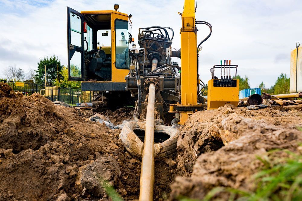
There are sections of a bore path where plan data and GPR readings together still leave uncertainty, and that is when potholing is the most reliable option before the drill rig is positioned. Potholing uses hydro excavation to create a small, controlled opening that gives crews a direct visual confirmation of what is present and at what depth. It is a targeted step, not a routine one, used at specific high-risk points along the corridor.
Potholing before drilling is recommended in these situations:
- When GPR returns congested or ambiguous readings in a section of the bore path
- Where plan data from different asset owners conflicts or overlaps in the same zone
- At road crossings, utility clusters or areas with a known history of unrecorded connections
- When a bore path passes close to an asset where the margin for error is narrow
The Legal Obligations Behind Before You Dig Australia
Before You Dig Australia operates under a compliance framework that applies to anyone planning excavation or ground disturbance, and directional drilling is firmly within scope. In the NT, failing to lodge a request before starting work exposes contractors, project managers and asset owners to significant liability, particularly if an asset is struck during the job. The legal position is clear: completing a BYDA request is required, and receiving plans without acting on them provides no legal protection.
The key obligations relevant to directional drilling safety Darwin projects are:
- A BYDA request must be lodged before any ground disturbance, regardless of project scale
- Receiving plans does not transfer liability for unregistered assets, so independent on-site locating remains the contractor's responsibility
- Plan responses must be reviewed and genuinely acted upon, not simply filed away
- Documentation of the full process, including lodgement, plans received and locating completed, should be retained as part of project records
What a Complete Pre-Drill Compliance Sequence Looks Like
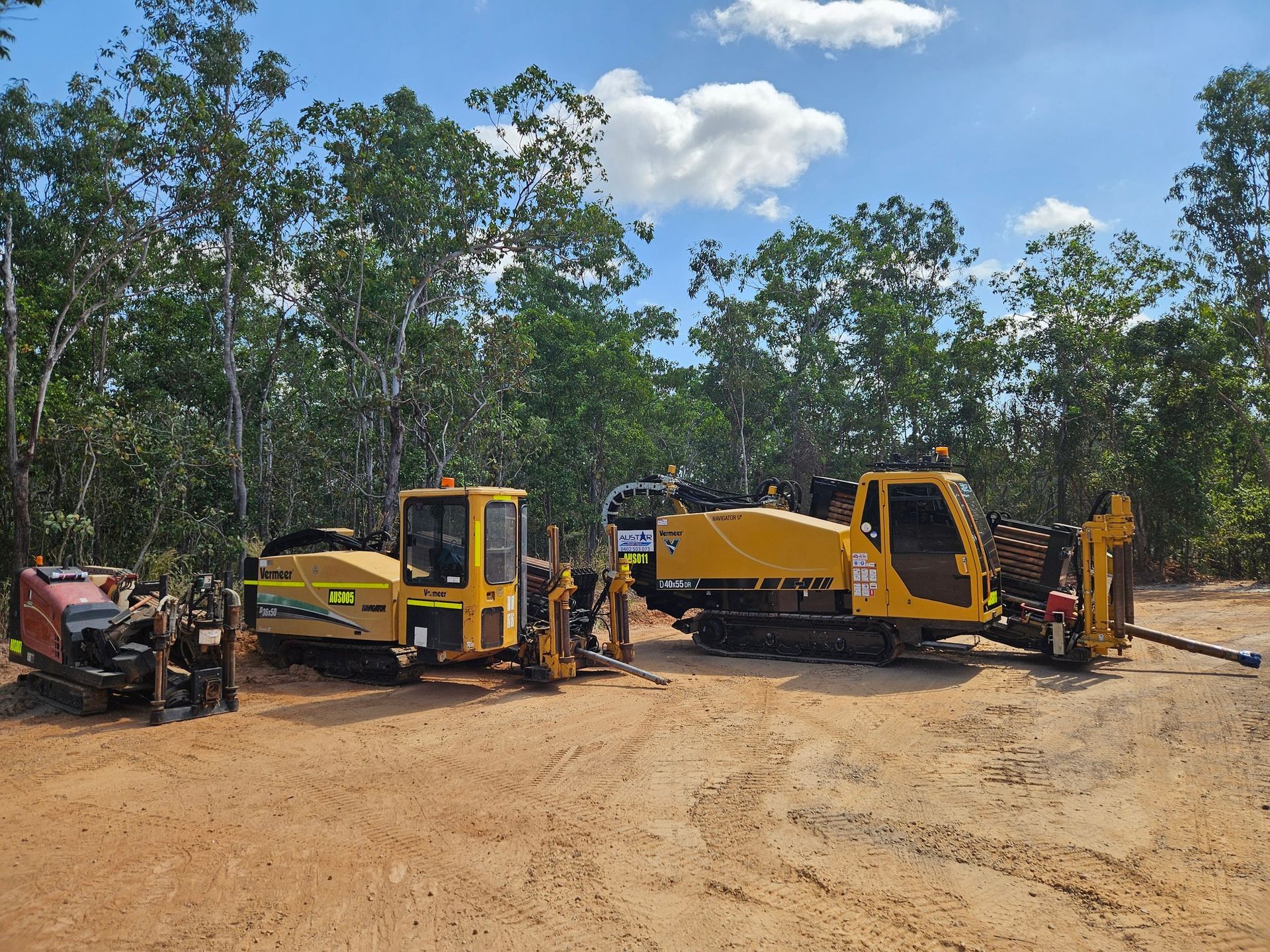
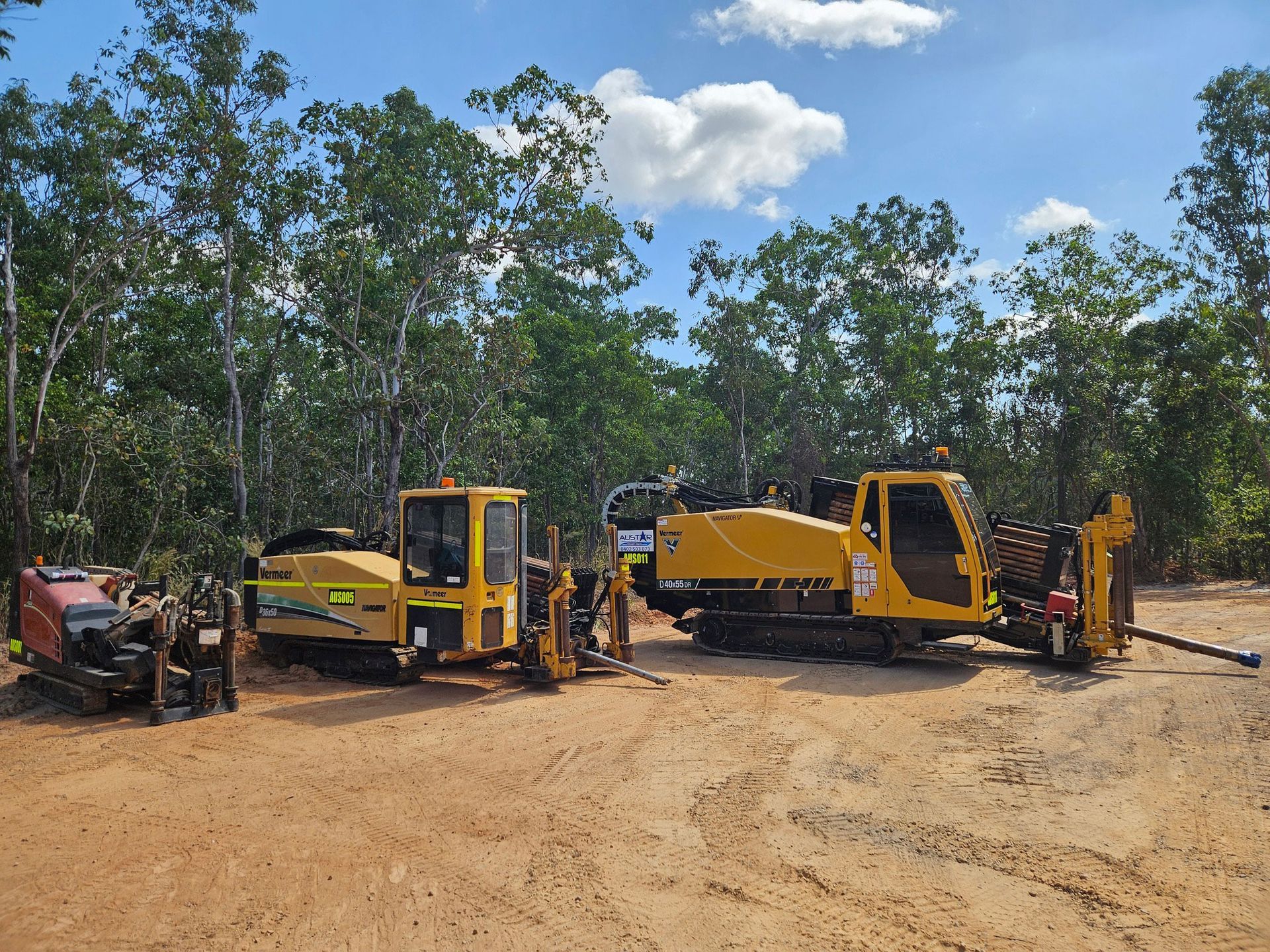
Pulling each stage into a consistent, repeatable sequence is what gives a directional drilling project its strongest foundation before any ground is broken. Every directional drilling Darwin job at Austar begins with a BYDA plan request before the rig is booked in. Once the BYDA plans are back, our underground service locator Darwin team confirms exact depths and positions on-site before the drill crew mobilises.
The full pre-drill compliance sequence on a well-managed job looks like this:
- BYDA request lodged with accurate site coordinates, work type and contact details
- Two business day wait for NT plan responses factored into the mobilisation schedule
- Plans reviewed across all asset owner responses and cross-referenced with site knowledge
- On-site locating completed using electronic detection, GPR or a combination depending on asset types present
- Potholing carried out at high-risk or ambiguous points along the bore corridor
- Bore path confirmed, marked and signed off before the rig is positioned on site
Talk to Us Before Your Next Project Gets Scheduled
We at Austar Underground Services manage the full pre-drill compliance process from BYDA lodgement through to on-site locating and drilling, so Darwin contractors, councils and project managers can move forward without co-ordinating multiple providers to get a job compliant and ready. Whether the project involves a straightforward service installation or a complex bore through congested infrastructure, we can walk through the pre-drill requirements with you well before anything is locked in. For more on how we plan a job safely from the ground up, browse our blog. Get in touch with our team to discuss your next project or request a quote.